It is late summer in 1782, and the sun is slipping behind the distant hills. The ladies of the town, wives of respectable businessmen, clergymen, and doctors, are taking an evening stroll with their friends and their daughters.
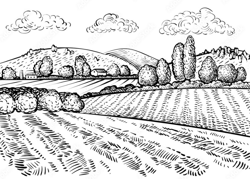
The air is fragrant with scents of the countryside: corncockle, yellow-flag iris, harebell, and wood anemone. The long row of trees provide respite from the waning heat, and beyond the wooden fence, cows and sheep lollop in the fields knowing that it will soon be time to settle down for the night.
When the ladies reach the river, sparkling and clear, they might cross in single file, using the narrow wooden bridge, and walk a little further towards the tiny village ahead, where its few houses will already have cast shadows on the ground.
Most will turn around and retrace their gentle steps along the grass path that leads back into town, and where their gentlemen will be waiting, joking amongst themselves that their wives have been taking the air along Ladies’ Walk again.
A decade later, James Montgomery, a Scottish-born writer who had unsuccessfully attempted a literary career in London, moved to Sheffield township and became assistant to Joseph Gales, auctioneer, bookseller, and printer of the Sheffield Register.
On the first Sunday after his residence, Montgomery was encouraged to take a walk along this same path, and where it reached the river, he watched as a horse and cart coming from remote Heeley had splashed its way through the river because the flat wooden bridge was designed only for those on foot.
Montgomery became a hymn writer, poet, and newspaper editor, and by the time he was famous, he had witnessed the growth of Sheffield and its expansion from Alsop Fields, across Sheffield Moor, towards that tiny village called Little Sheffield (now London Road).
Ladies’ Walk subsequently disappeared, with houses, and small workshops built along both sides of the path, and by the time the new century dawned, it had become known as Porter Lane, the road heading towards Porter Brook where a wider bridge accommodated horses and carts.
In time, Porter Lane became Porter Street, one of the shabbiest, dingiest, and dirtiest of suburban streets, far removed from the days when elegant ladies took the night air, but it became the main route between Moorhead and Bramall Lane.
During World War Two, Hitler’s bombs rained down on Porter Street, reducing most of it to rubble, and for the next twenty years or so, swathes of wasteland would be reclaimed by those forgotten wildflowers of yesteryear.
In the end, Porter Street ceased to exist, its remaining buildings demolished to make way for post-war redevelopment, and the stories of Porter Lane and Ladies’ Walk disappeared.
And so, my twenty-first century friends, there is a clue as to where Ladies’ Walk was.
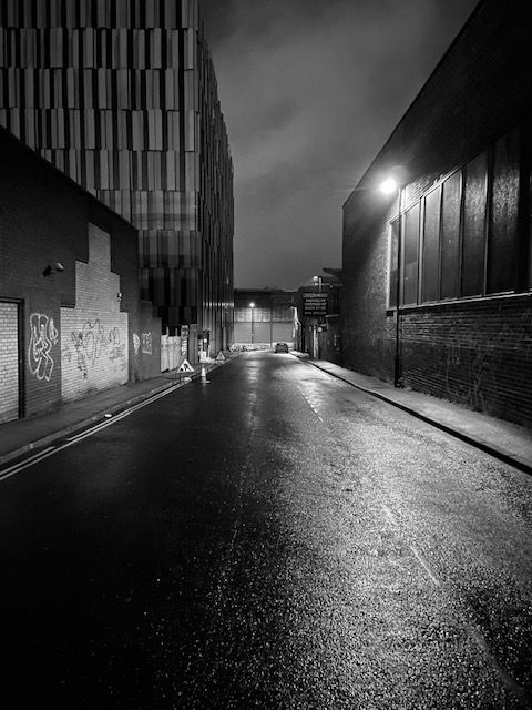
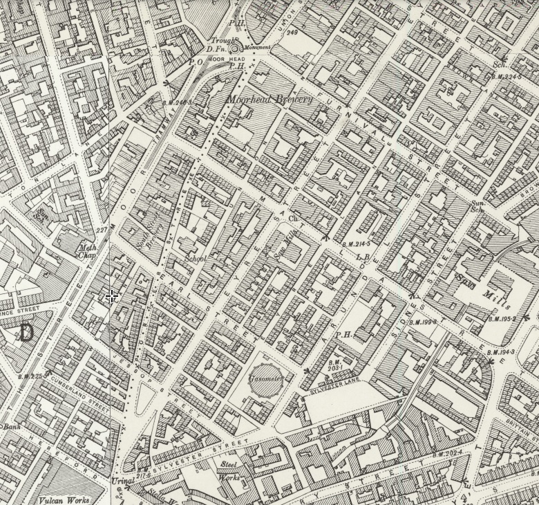
If you travel up Eyre Street from Bramall Lane roundabout, the road bends to the right near Decathlon. Eyre Street became the prominent road into the city centre, but Ladies’ Walk, then Porter Lane, and Porter Street, went straight ahead from where the road still bends.
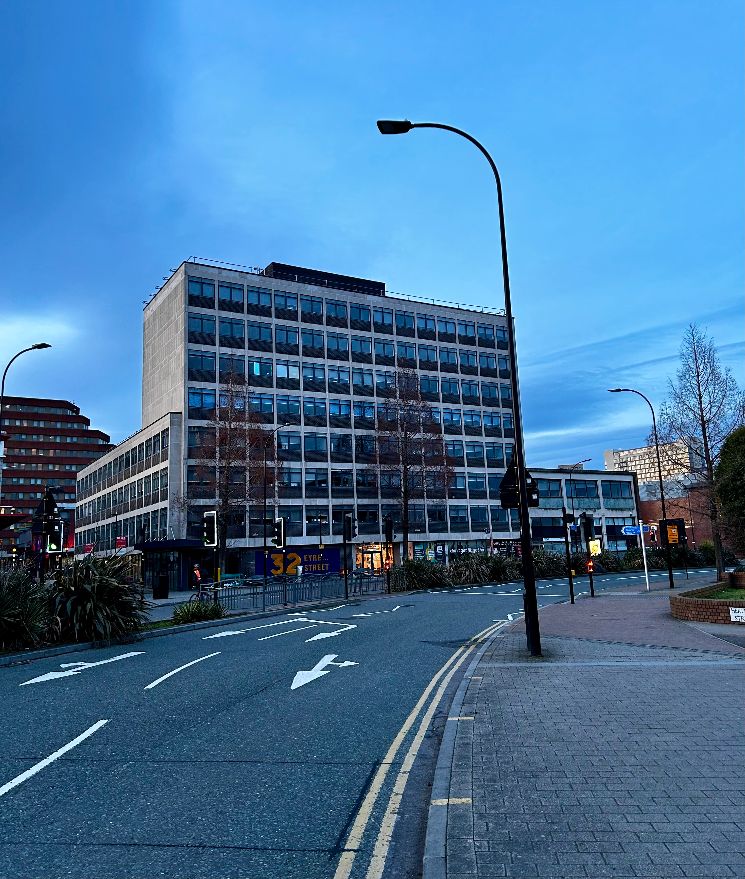
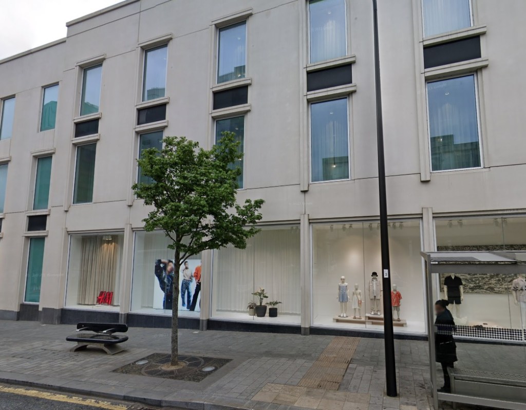
Imagine walking diagonally through 32 Eyre Street (known to many as Deacon House) at its corner with Hereford Street, across Cumberland Street, through Moor Market, across Earl Street, and through all the buildings until you reach Furnival Gate (once Furnival Street) where the modern H&M shop is now.
Those ladies would have walked from the end of Union Street on the opposite side of the road, straight through the side of the H&M shop, and into this lost and unimaginable rural idyll.
©2024 David Poole. All Rights Reserved.