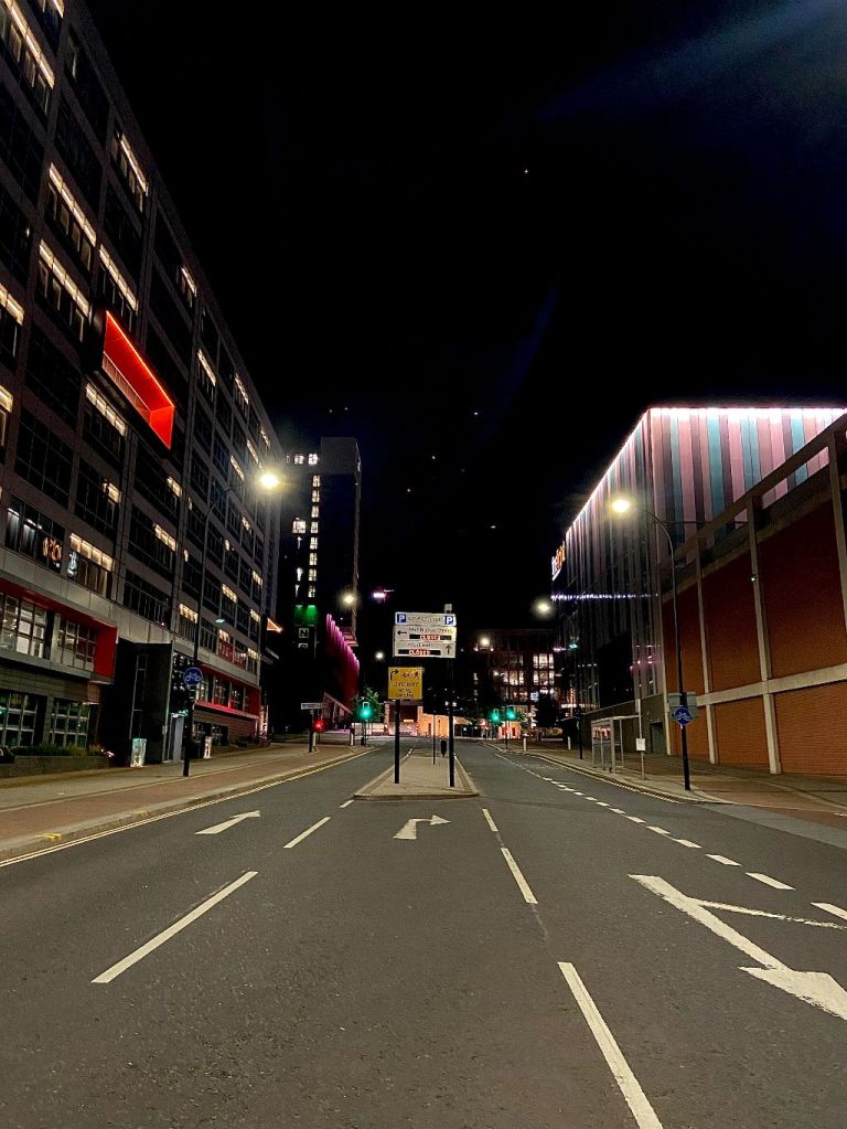
Charter Row, 3am. This is a relatively modern road, created in the 1960s when Sheffield, like other cities, tried to separate cars from pedestrians.
According to Harman and Minnis in Pevsner’s Architectural Guide, the inner ring road (a revival of the Civic Circle from 1945) was only partly completed, comprising Arundel Gate, Eyre Street, and Charter Row, while St. Mary’s Road and Hanover Street were upgraded to form an outer ring.
Charter Row runs roughly along the course of Button Lane that ran between Moorhead and the junction of Moore Street and Fitzwilliam Street. It was heavily bombed during the Blitz of 1940 and remaining slum housing and workshops demolished.
©2022 David Poole. All Rights Reserved.
