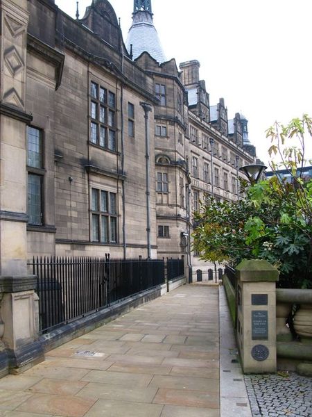
A relic of the past. Cheney Row runs alongside the Town Hall adjacent to the Peace Gardens. It is an old thoroughfare, a survivor from the days of Cheney Square, demolished during the construction of the Town Hall in the 1890s.
Cheney is a very old Sheffield name, being found in the accounts of the Burgery as far back as 1645.
There is a record that says one Edward Cheney, in 1725, bought surplus land left over from the building of St. Paul’s Church, which stood on the site of the Peace Gardens and was demolished in 1938.
The land was known as Oxley Croft before the church was built, but that name disappeared and, in its place, we had New Church Street (also gone) and Cheney Row and Square.
In some old directories the name appeared as China Square, probably the result of a ‘politically-correct’ compiler believing that Cheney was a derivation of China.
And again, the name Cheney has been traced to Dr Hugh Cheney, originally from Bakewell, one of the first surgeons at the Royal Infirmary, who lived in a house at the corner of Cheney Square about 1803. But it was Cheney Square before his time.
There is little doubt that the Edward Cheney, who bought the surplus land of Oxley Croft, built the houses and called two of the thoroughfares after himself.
In January 1886 the Town Council decided that a site bounded by Pinstone Street, (New) Surrey Street, Norfolk Street, and Cheney Row should be utilised for a new Town Hall, and that New Church Street, Cheney Square and an unnamed lane should disappear.
